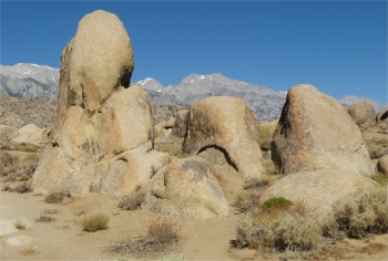
 Alabama Hills with Sierra Nevada Backdrop |
I drove into Lone Pine to get ice and trail mix. The first settlers to Lone Pine in the early 1860s gave Lone Pine its name because of a single, large pine tree at the confluence of Lone Pine and Turtle Creeks. The tree blew down in a storm in 1876.
On March 16th, 1872 at 2:30am, Lone Pine experienced a violent earthquake, similar in magnitude to the "Big One" in San Francisco in 1906. The shaking literally leveled the town. Of the 80 buildings built of mud and adobe, only 20 structures were left standing. Twenty-six people lost their lives during the earthquake. A mass grave, located just north of Lone Pine, commemorated the site.
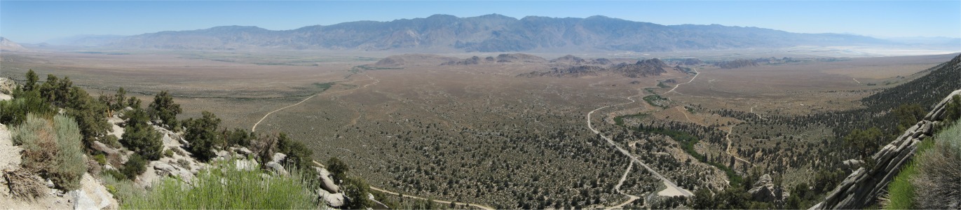
My shopping took the whole of three minutes, and then I headed up the Whitney Portal road to the Mount Whitney trailhead. The mountain lay in the Inyo National Forest. Inyo was a Paiute Indian word meaning "Dwelling Place of the Great Spirit". The forest extended 165 miles along the California/Nevada border between Los Angeles and Reno. Established in 1907, the forest included 1.9M acres of pristine lakes, fragile meadows, winding streams, rugged Sierra Nevada peaks and arid Great Basin Mountains. Elevations ranging from 3,900' to 14,497' provided diverse habitats that supported vegetation patterns ranging from semiarid deserts to high alpine fell-fields. The Sierra Nevada literally meant "snowcapped saw", and provided as formidable a barrier as the Grand Canyon. The north and south routes across to the west were 231 miles apart.
|
|
Mount Whitney was the highest peak in the lower 48 states (14,497'), and was only 75 miles away from the lowest point in the Western Hemisphere, Death Valley at 282' below sea-level. I would have relished the challenge of climbing to the top of Mount Whitney, but the hassle of obtaining permits and locking myself into a time frame blew that idea out of the water.
 One of the Easier Stream Crossings |
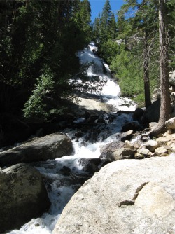
The trailhead itself was a delightful oasis near the top of Lone Pine Creek. Waterfalls cascaded down to it over smooth granite faces, and the ice-cold melt waters flowed into an inviting pool with fish in it. Picnic tables around the area made it a popular venue, and judging by the number of cars parked up, plenty of hikers were already out on the mountains.
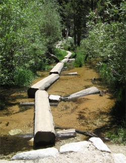
The hike was exceptionally pleasant, negotiating endless switchbacks. The lower portion was open, high desert, while the upper portion offered the cooling shade of the Lone Pine Creek canyon, and the scent of large Jeffrey pines. Lush areas were encountered with bracken growing to the trail's edge, and myriads of wild flowers in bloom with butterflies fluttering by. The sound of melt water finding its way down into the creek was everywhere.
 Looking Down Lone Pine Creek from the Whitney Trail |
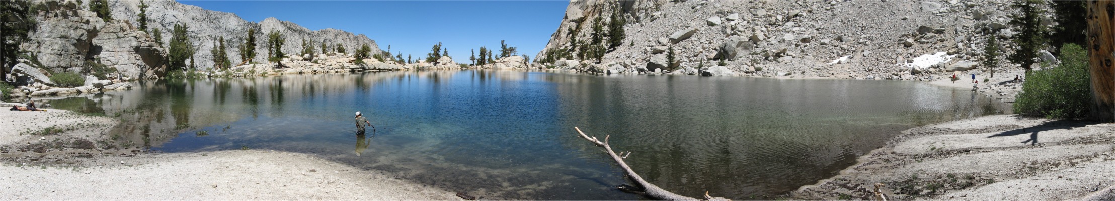
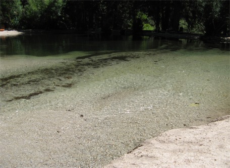
After the long, hard slog up the slopes of Mount Whitney, with countless switchbacks, crossing numerous fast flowing streams, and passing cascading waterfalls, I was rewarded with the gem of Lone Pine Lake.
The lake was in a fabulous setting, with high peaks on three sides, and a low boundary of tree studded granite on the valley side, through which the lake tumbled headlong to the valley far below. Snow pockets were visible around the lake, and no doubt a lot more was to be found higher up. The site was idyllic. The handful of people who had got to the lake were chilling out in whatever shade they could find.
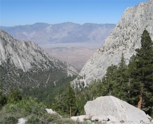
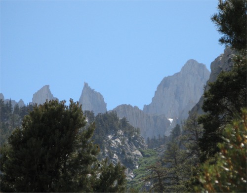 Mount Whitney in the Background on the Right |
I found a shady rock, laid down, and slept for a couple of hours, then ended up chatting to an American couple; the guy was wearing a jacket! He was used to temperatures of 100+ deg. F. I tried to convey to him that for me 9,900' was still a tad warm. We just agreed to differ.
Going back down the mountain was a bit of a strain on my knees, but I made it safely. By this time I was famished and I went into the trailhead cafe for whatever they could offer; beef burger. I would have eaten anything.
It had been a most enjoyable hike, and I was pleased to be in a cooler environment, back among the sweet smelling trees and the sound of rushing water. I dropped back down to The Alabama Hills to spend another night alone with just the ghosts of cowboys and extras for company. I cracked open a bottle of beer and sat on a rock in the moonlight savouring it. The only sounds were the wind gently blowing across my ears and the distant sound of cascading water. Through the day I usually tried to make human contact, there was a definite need for that. However, I was quite content to be alone here in the hills with just the moon and wind for company; a good time to reminisce. Tomorrow I would start my journey north up Owens Valley.