I parked at Market Plaza, and caught a shuttle bus to Red Rock. There I had to wait in a long queue till there was room on a shuttle bus going out to Hermits Rest. I got chatting to an extended family; a retired couple who used to take their daughter around the national parks, and were now taking her around them again, with the daughter's brood of children too. It was good to see. Once on the bus, a young woman sat next to me, and her two kids were sitting in the seat across the aisle. She asked me about the bus stops, since the bus didn't stop at all the same stops on the return journey, and a walk would be necessary in several cases. I showed her the map and explained to her the options available to her. As a joke I said it wouldn't really matter anyway since the last bus was at two o'clock. Her kids overheard this and repeated it in horror. Then the people behind the kids overheard them, and they repeated it. By a rapid process of Chinese whispers, half the bus was soon horror struck to learn the last bus was at two o'clock. Fortunately the woman realised what was going on and told them it was just a joke. Frightened frowns soon turned to smiles. Crumbs, if it had got as far as the driver, I might have been thrown off for citing a riot. We both had a good chuckle at that calamity. Her kids must have thought I was bonkers.
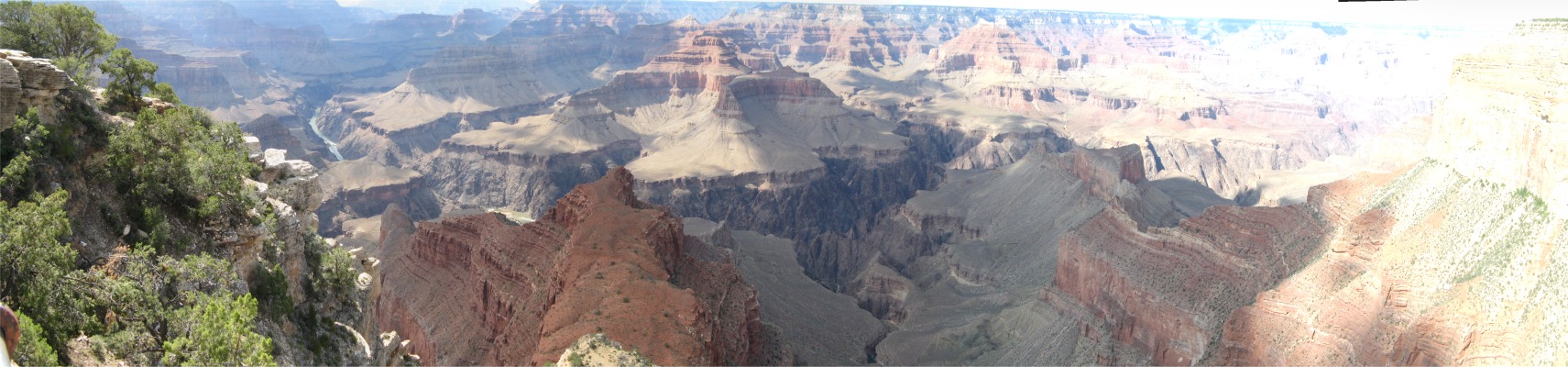
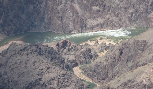 Granite Rapid One Mile Down - Monument Creek Running in from The Bottom of the Picture |
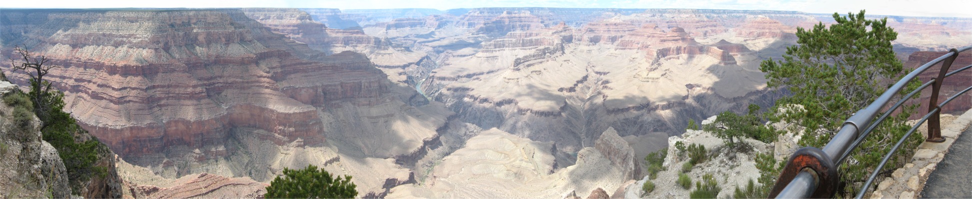
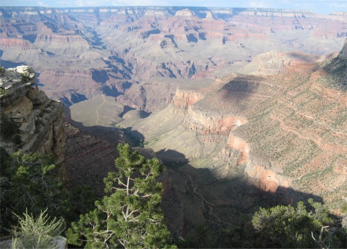
 The 3,000' 280 Million Year Old Abyss |
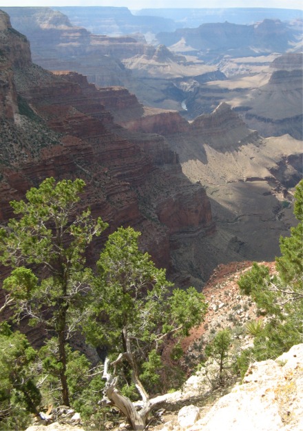
After taking in the overlook at Pima Point, I walked a while and spotted Granite Rapid down in the canyon. Like most Grand Canyon rapids, Granite Rapid formed where a side stream flowed into the river. At Granite Rapid, Monument Creek entered the Colorado River from the south. During floods, side streams deposited boulders, rocks, and sand into the Colorado River. This debris constricted the channel, forcing the river to flow with speed and power. This faster river crashed over the debris-strewn riverbed, forming powerful rapids. Granite Rapid rated an 8 on Grand Canyon National Park's 10-point scale of river difficulty.
I took in Monument Creek Vista, and The Abyss, with its 3,000' cliffs telling the story of lake, seabed and sand dune deposits over the last 280 million years.
I continued my journey around the rim, stopping off at Powell Point to take a close look at the monument, named after John Wesley Powell who lead the 1869 expedition through the canyon. The route also took a detour around Orphan Mine. During the Cold War, uranium was mined here, but when the 'cold' thawed, Congress ordered the mine be closed down. Now a multi-million dollar programme was in place to decontaminate the area.
 Bright Angel Trail Running Through Bright Angel Fault |
Then, just 100m past the Trailview Overlook, looking down on the pinyons just above the precipice, I saw two California condors quietly sitting on the branches, with not a care in the world.
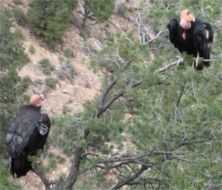 California Condors (Notice the Tags) |
On the way back to my campsite, driving through pouring rain in a spectacular thunderstorm, I stopped off at Tusayan for some food. Cooking in the dark combined with rain did not appeal to me. It gave me time to take stock of the last few days.
The South Rim was very commercialised, and for me it was too crowded. I could appreciate why the South Rim was the most popular stopping off point; communication via good roads, rail and air with major cities was the overriding factor. For me, the North Rim was much less crowded, and provided excellent hiking, and solitude was available for those who wanted it. The south was elbow-to-elbow let-me-see, let-me-see.
The Grand Canyon was truly grand from the sheer scale of it, and also up to two billion years of geology had been peeled away and was there for all to see and appreciate. Seeing that vast chasm, carved one mile deep by the Colorado River, it was hard to believe that all that volume had been eroded away in the relatively short time of six million years.
I had enjoyed other canyons more, but I took my hat off to this granddaddy of them all.